DOWNLOADS
Garmin Texas East Premium
Model: 010-C1181-00- Identifies offshore field lease blocks outlined in red with white labels.
- Yellow lines identify a highway system through the marsh, created by Standard Mapping.
- Outlines these areas in green.
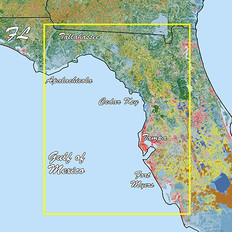
Sectioned coastal aerial overlay provides high-resolution imagery, local names of waterways and land features plus outlined Wildlife Management Areas and Offshore Lease Areas.


